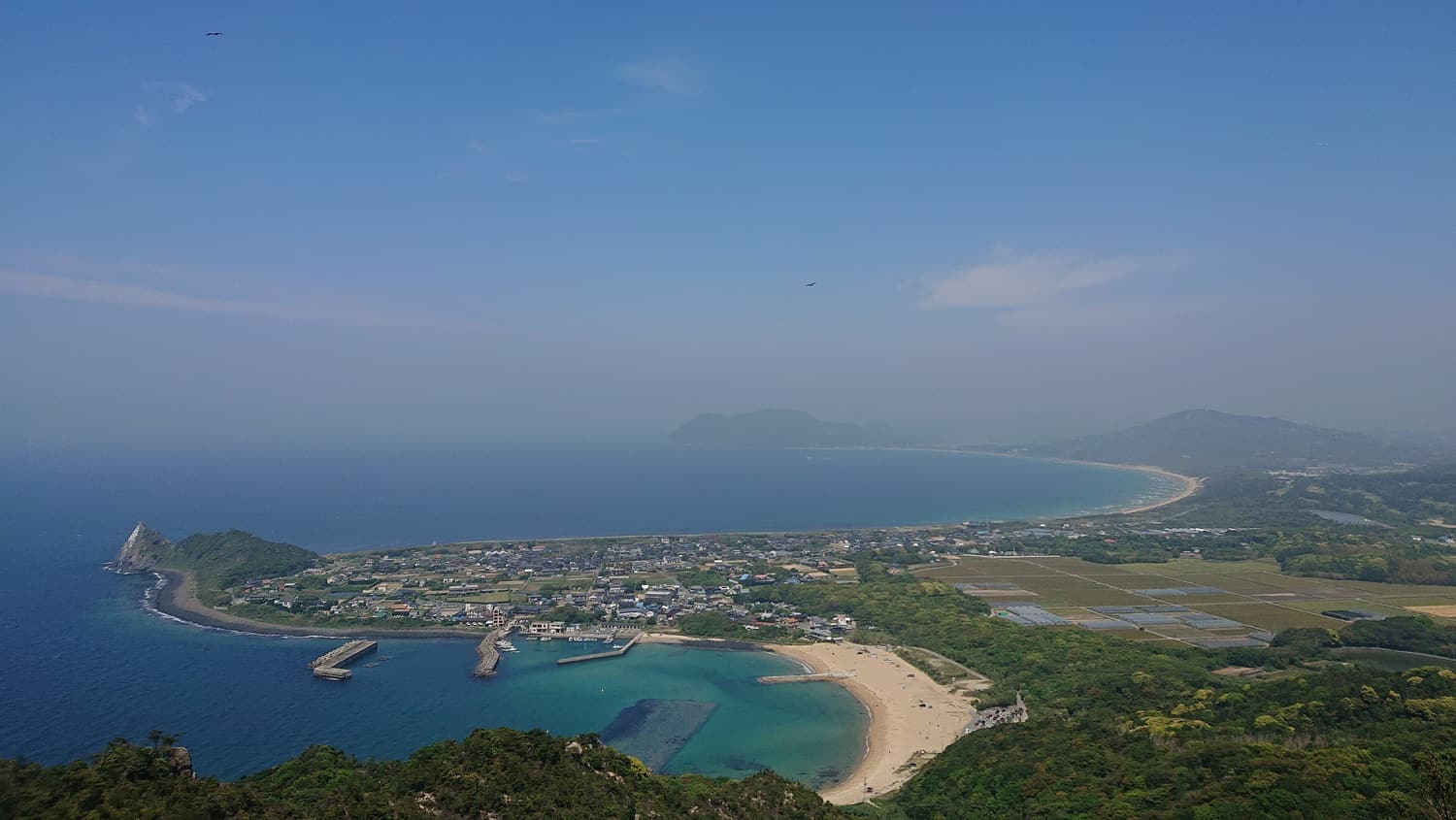
Itoshima’s hills are low, but they rise straight from the sea, so the views are out of all proportion to the effort. Two short hikes stand out, and either fits comfortably into a morning.
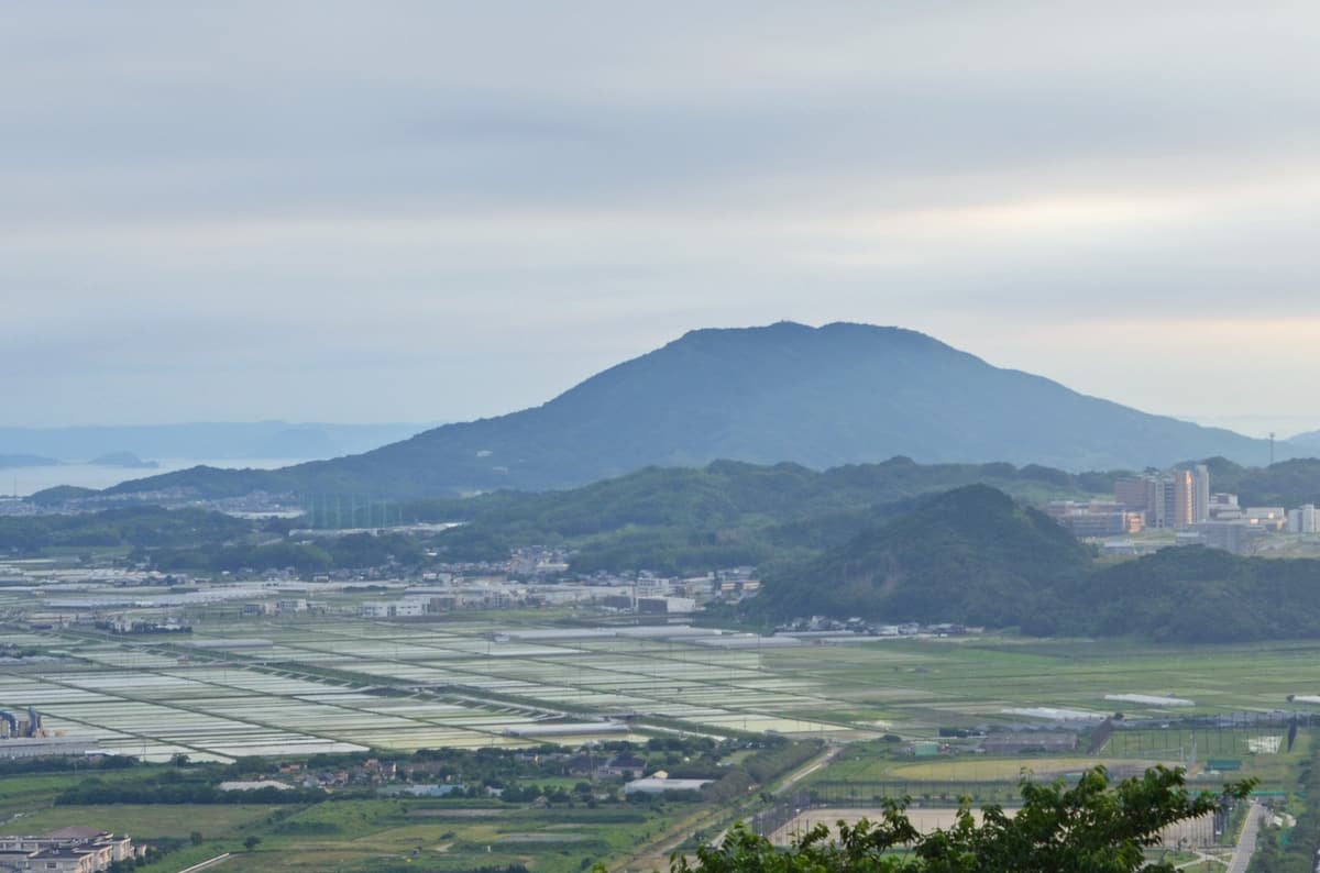
Tateishi-yama (209 m) is the rocky hill above Keya beach at the western tip of the peninsula. Kaya-san (365 m) is the neat cone in the middle of the peninsula that locals call “Itoshima Fuji”; its granite was once quarried and shipped across Japan.
Top things to do: Tateishi-yama & Kaya-san Hikes
Climb Tateishi-yama
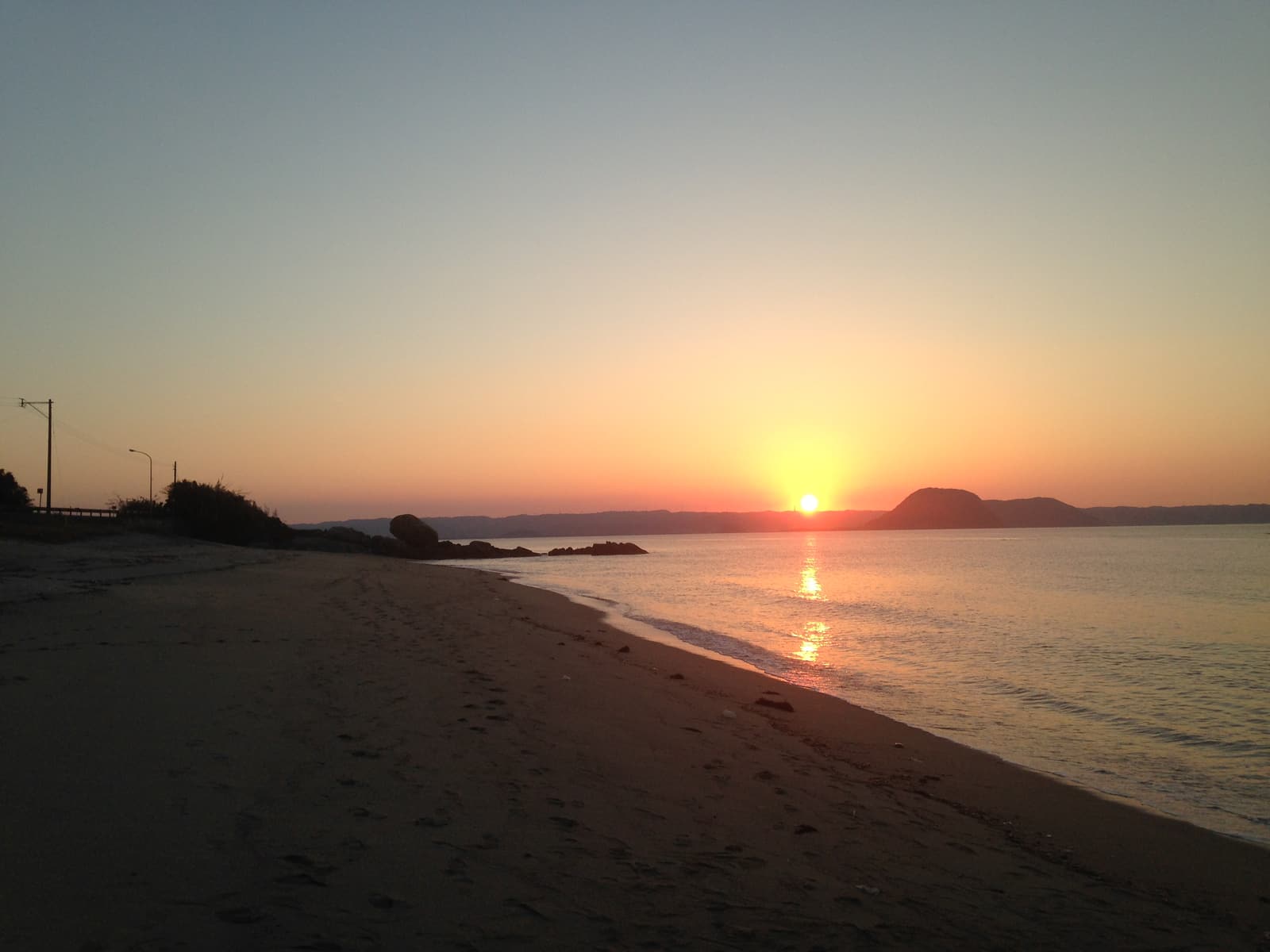
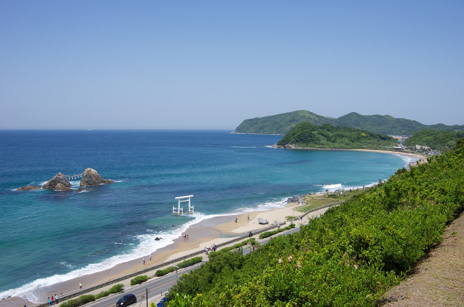
The trail starts near Keya beach and climbs steeply through woods and over granite outcrops. Allow around 45 minutes to an hour to the top. From the rocks near the summit you look straight down on the white arc of Keya beach, the cape of Keya no Oto and the islands offshore — one of the best coastal views in Fukuoka Prefecture.
Climb Kaya-san, “Itoshima Fuji”
The usual route climbs from the south side through forest to a shrine and on to a viewpoint just beyond the summit. Allow about an hour to an hour and a half up. The view takes in the whole peninsula, Hakata Bay and, on a clear day, the islands of the Genkai Sea.
Walk the Totoro forest instead
If a climb is too much, the flat, shady trail to the Keya no Oto viewpoint takes 10–15 minutes and still delivers a sea view.
How to get there
- Tateishi-yama: the trailhead is near Keya beach — by car, or by bus from Chikuzen-Maebaru Station to Keya.
- Kaya-san: the trailheads are a short drive or taxi ride from Chikuzen-Maebaru Station; some hikers walk from the station, which adds considerably to the day.
Insider tips
- These are real trails with steep, rooty and rocky sections. Wear hiking shoes or sturdy trainers and carry water.
- Clear, dry days from October to early spring give the best visibility; summer is hot, humid and buggy.
- There are no shops or toilets on the trails. Use the facilities at the beach or in town first.
- Take care on the summit rocks of Tateishi-yama, which have unprotected drops.
Best tours & tickets: Tateishi-yama & Kaya-san Hikes
These top-rated experiences are the easiest way to see Tateishi-yama & Kaya-san Hikes and the rest of Itoshima:
 Activity from US$190
Fukuoka: Premium Paragliding Tandem Flight in Itoshima
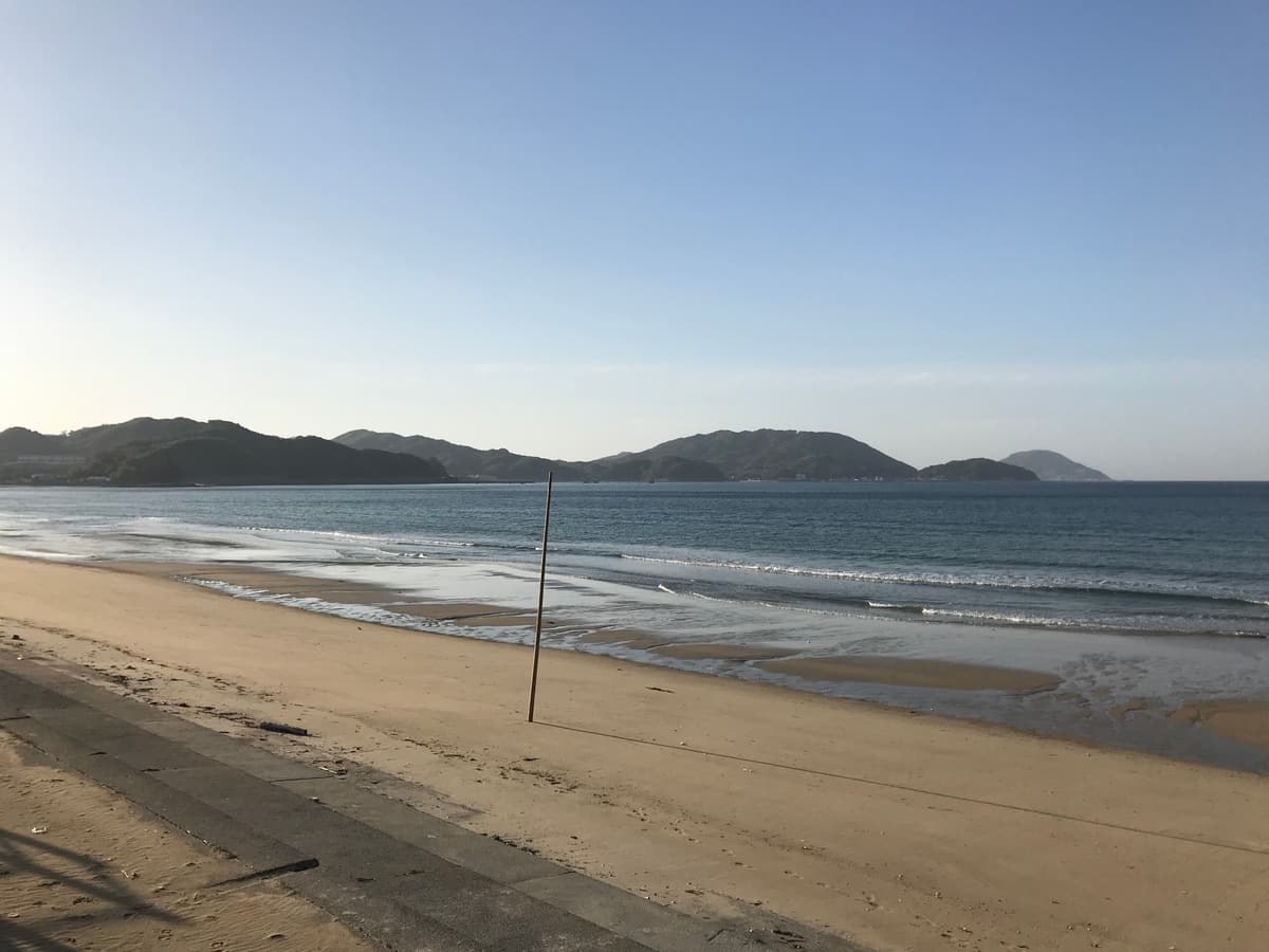
A tandem motorized paragliding flight with a professional pilot, looking down on the Genkai Sea and the green coastline of Itoshima. Flights depend on the weather, so keep your schedule flexible on the day.
- A tandem motorized paraglider flight
- A professional pilot at the controls
- Views over the Genkai Sea and the coastline
 Private tour from US$95
Customized Itoshima Photogenic Tour
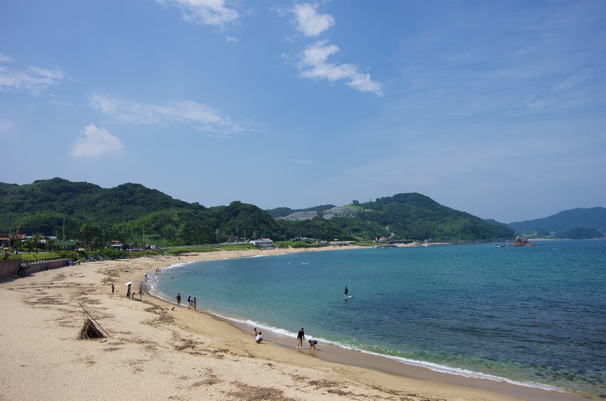
A six-hour private tour that you shape with the guide: choose the coast, nature spots or local food and skip what does not interest you. With pickup available and one of the highest ratings of any Itoshima product, it is the flexible alternative to the fixed coach routes.
- A private guide and a route built around your interests
- Nature spots and local food stops
- Pickup available